Filter Map
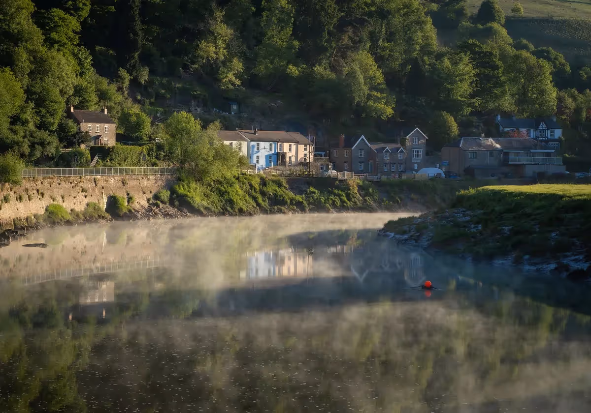
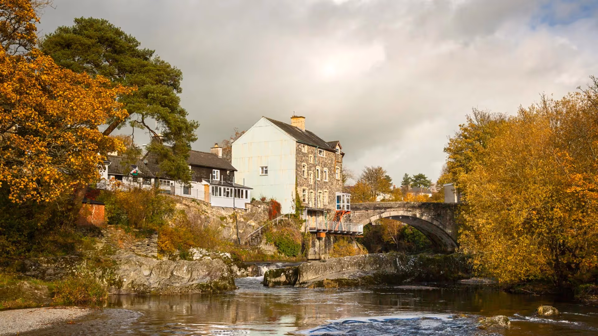
A pleasant mix of farmland, old roads, woodland and open hill walking, with some steep terrain up to a highest point of 1240 ft. Leave Rhayader passing the waterfall after which the town is named, Rhaeadr Gwy, meaning 'waterfall of the Wye'. Cross the Afon Elan at an old fording point via a swaying pedestrian suspension bridge.
Beyond Llanwrthwl Church the path skirts around Trembyd (Welsh for 'View of the World') hill, which marks the eastern edge of one of the largest areas of open upland common land in Wales. Part of the stage is shared with National Cycle Route 8.

TimeScape Rhayader opens this Summer at CARAD (Community Arts Rhayader & District). An outdoor street exhibition outside the Museum also displays incredible secrets hidden in the countryside surrounding Rhayader, featuring colourful local heritage stories. CARAD is an independent charity promoting participation in arts and heritage activity. Collect your digital passport stamp at CARAD, Unit 1-2 East Street, Rhayader LD6 5ER.
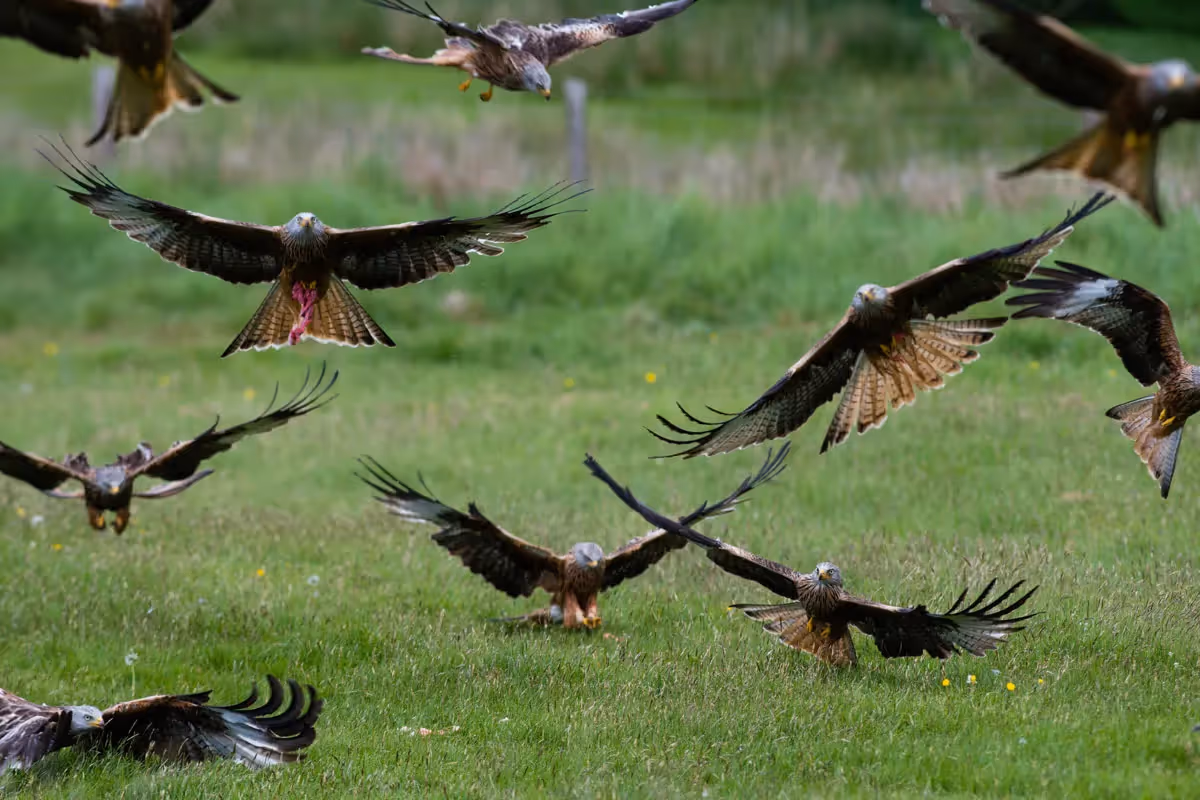
Gigrin Farm is a 160 acre family sheep farm, famous for its Red Kite Feeding Centre. Red kites were once common, but persecution by Victorian gamekeepers assisted their decline. By the 1930s the number of red kites in Britain fell to only two pairs in the Welsh hills. Gigrin was set up in 1992 following a request from the RSPB when only 6 red kites were roosting on the farm. Legal and physical protection has seen numbers rise to 600 in winter.
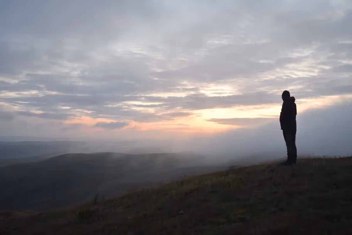
Trembyd hill marks the eastern edge of one of the largest areas of open upland common land in Wales. Trembyd is the Welsh word for ‘View of the World’ and there are spectacular views of the Cambrian Mountains. A challenging 10 mile (16 km) circular walk, off the Wye Valley Walk at Llanwrthwl Church, will take you to the summit at 1969ft (600m).


It’s a fantastic achievement to walk all 136 miles. Mark the miles by keeping a record of your journey, collecting (digital) passport stamps along the route…
MAKE A PASSPORT
Subscribe to our Wye Valley AONB Newsletter