%20low%20res.avif)
Filter Map
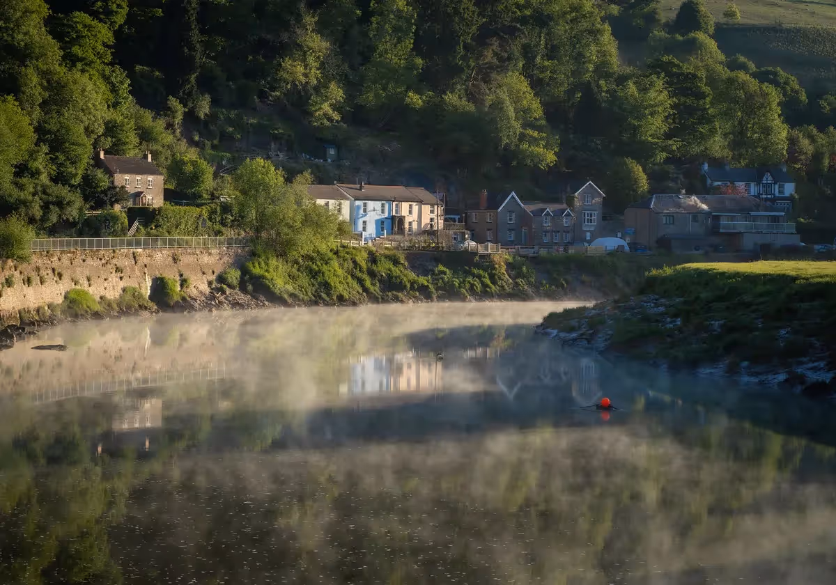
Plenty of gorgeous views on this seven mile section (on clear days). A mix of open common land and farmland, steep in places, with some walking on quiet country lanes. The route out of Builth Wells skirts around the Norman motte and bailey castle and then follows a quiet lane until reaching a footpath and footbridge over the River Duhonw. Views back towards Builth Wells open up as you climb (passing Pany-y-wrach - witches hollow) to an extensive area of common land from where there are amazing views to the Black Mountains. Aberedw Rocks, on the far side of the Wye to your left, is where legend has it Llewellyn ap Gruffydd, the Welsh prince of Gwynedd hid from the English army of Edward 1. Just before leaving this section of moorland the peak of Pen y Fan, the highest mountain in South Wales, comes into view too.
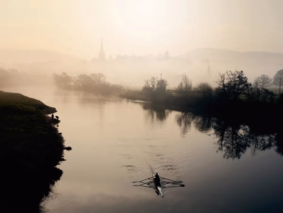
The route descends and at Little Hill Common more panoramic views take in the river Wye in the valley below stretching to the Black Mountains in the far distance. Crossing more common land and down quiet lanes you reach the A470 and Erwood Bridge. If you've timed it right, enjoy refreshments (and art) at Erwood Station Gallery on the other side of the bridge.


Stacey and Jennie (and their gorgeous husky) have recently taken over the Gallery and Café at Erwood Station, creating a welcoming place to refuel alongside the Wye Valley Walk, where you can claim your passport stamp too. And if you are wanting a new walking stick then the Gallery will be able to supply a beautiful, locally carved one! They showcase local artists work and crafts, although you may find it hard to carry home some of the large wooden sculptures for sale.
The Station was on the Mid Wales Railway line which ran from Llanidloes to Brecon from 1864 until the line was axed in 1962. New life was breathed into it in 1984 when Alan Cunningham, a professional woodturner, restored the site to exhibit his work. Two 19th century carriages from Rhosgoch and Eardisley and a signal box from Newbridge on Wye were acquired for extra gallery space.

At Aberedw Rocks, on the opposite bank of the Wye, is Llywelyn's Cave, said to be the hideout of Llewelyn ap Gruffudd, Welsh Prince of Gwynedd in the 13th century. Llewelyn was at war with the English King, Edward 1, and legend has it he hid in this cave. Captured by the English, Llewelyn was decapitated and his head taken to London. It’s said that local monks from Cwm Hir Abbey claimed his body and buried it there, although there is no evidence of a burial site today.
.avif)
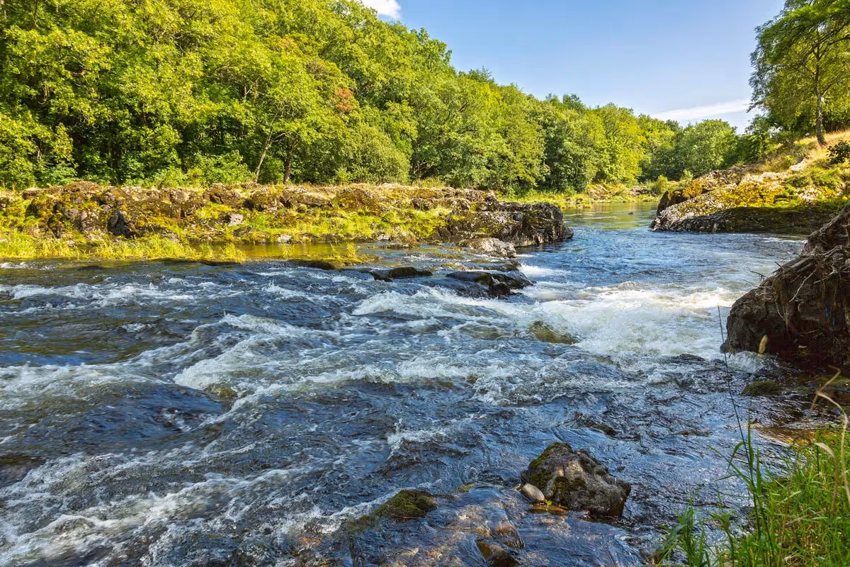
This stage passes through several areas of common land. 8.4 % of Wales is common land which is of great value for wildlife as it has not been improved for agricultural purposes. Ffridd’ is a Welsh term meaning the transition between valley and high hills. The mix of bracken and scrub, a habitat that develops on upland commons, is important for birds like the winchat, yellowhammer, linnet, wheatear and redstart. Common land is crucial to many Welsh farms which would not be viable without grazing rights.


It’s a fantastic achievement to walk all 136 miles. Mark the miles by keeping a record of your journey, collecting (digital) passport stamps along the route…
MAKE A PASSPORT
Subscribe to our Wye Valley AONB Newsletter