Filter Map
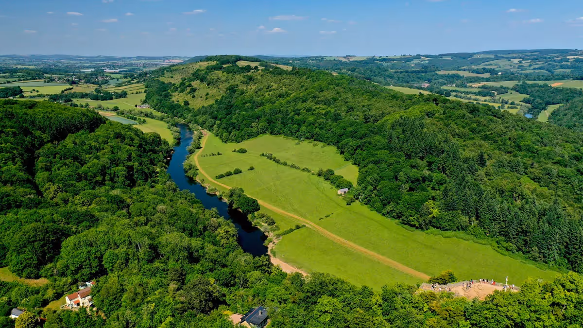
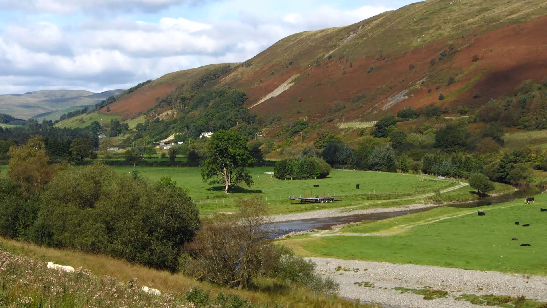
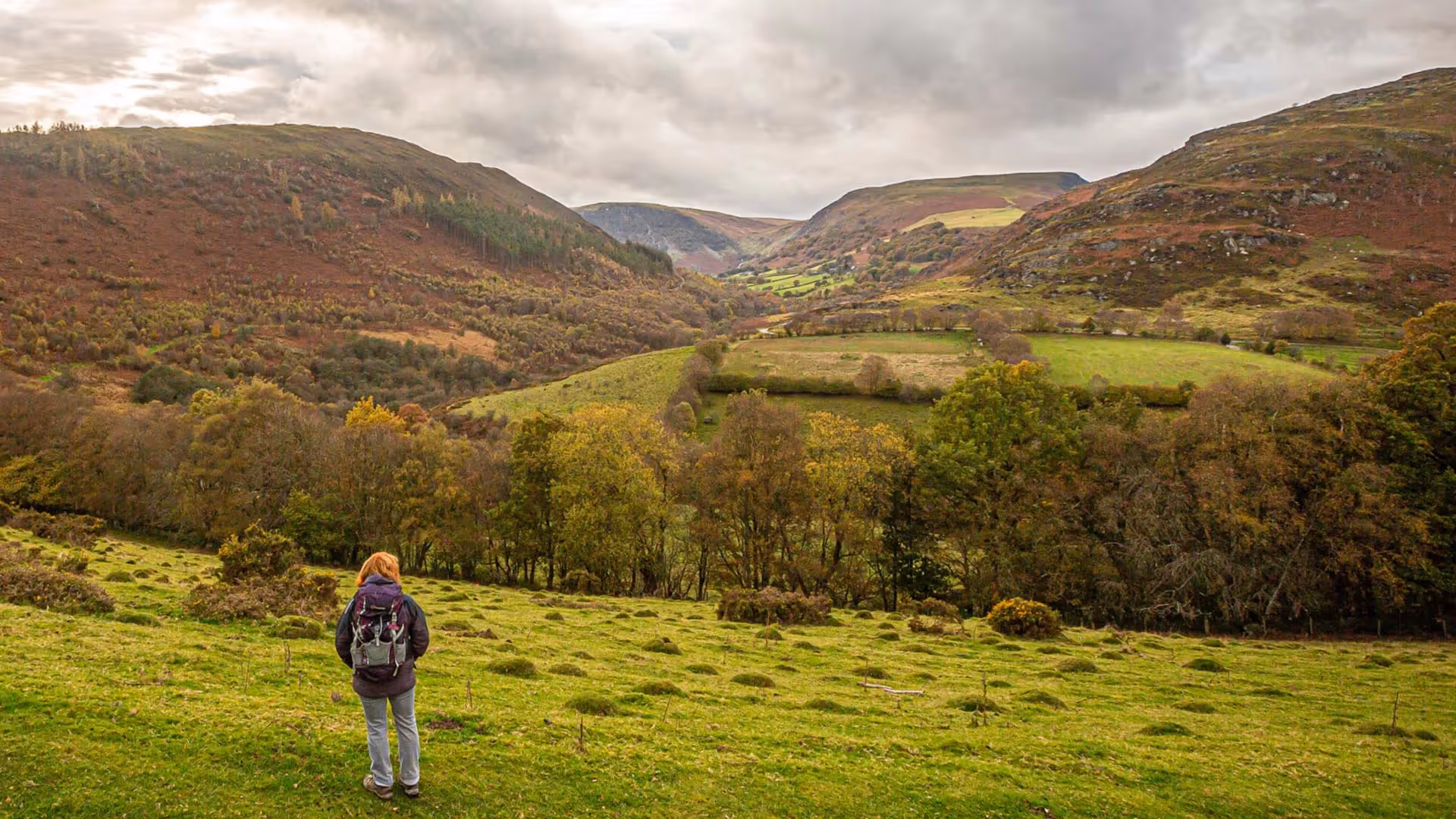
This beautiful section of the walk crosses the uplands of Mid Wales before descending into Rhayader. It includes sections of high level walking in open countryside, taking in one of the highest points on the route at 1568ft, from where on a clear day there are stunning views to Plynlimon.
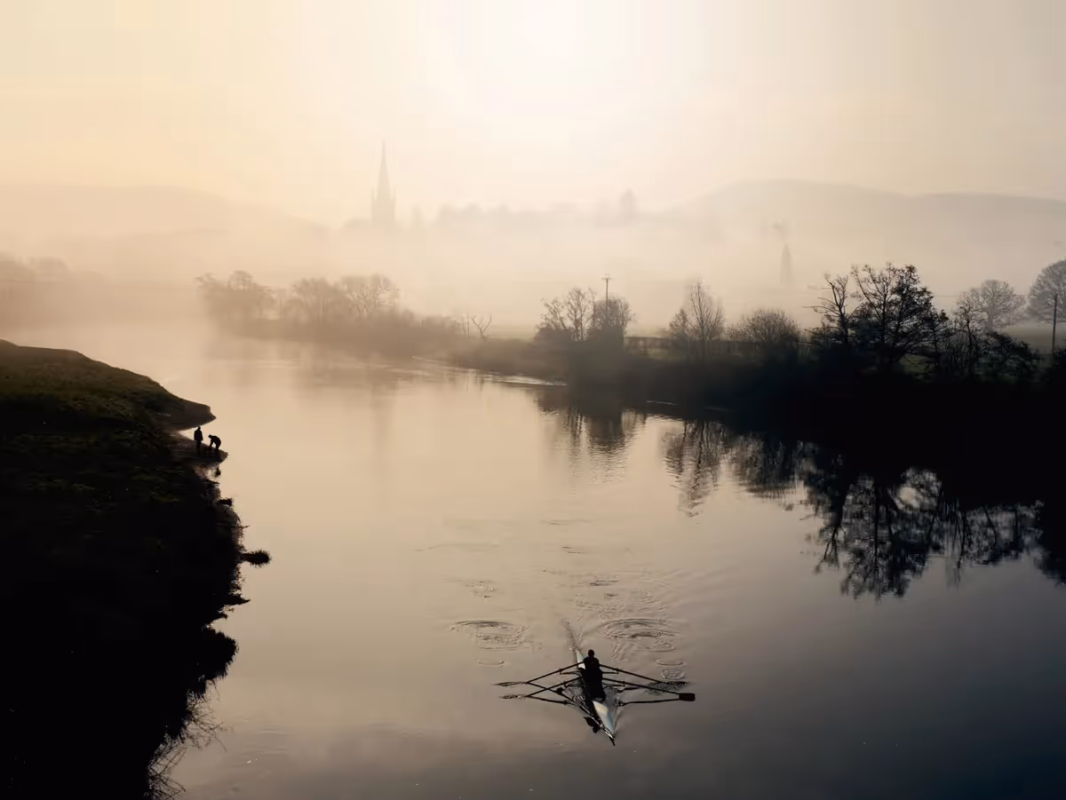
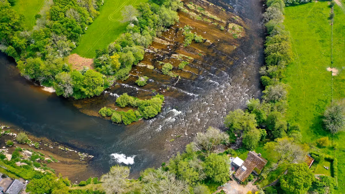
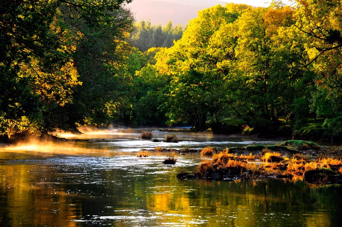
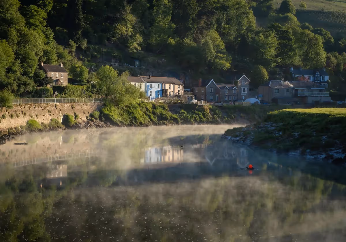
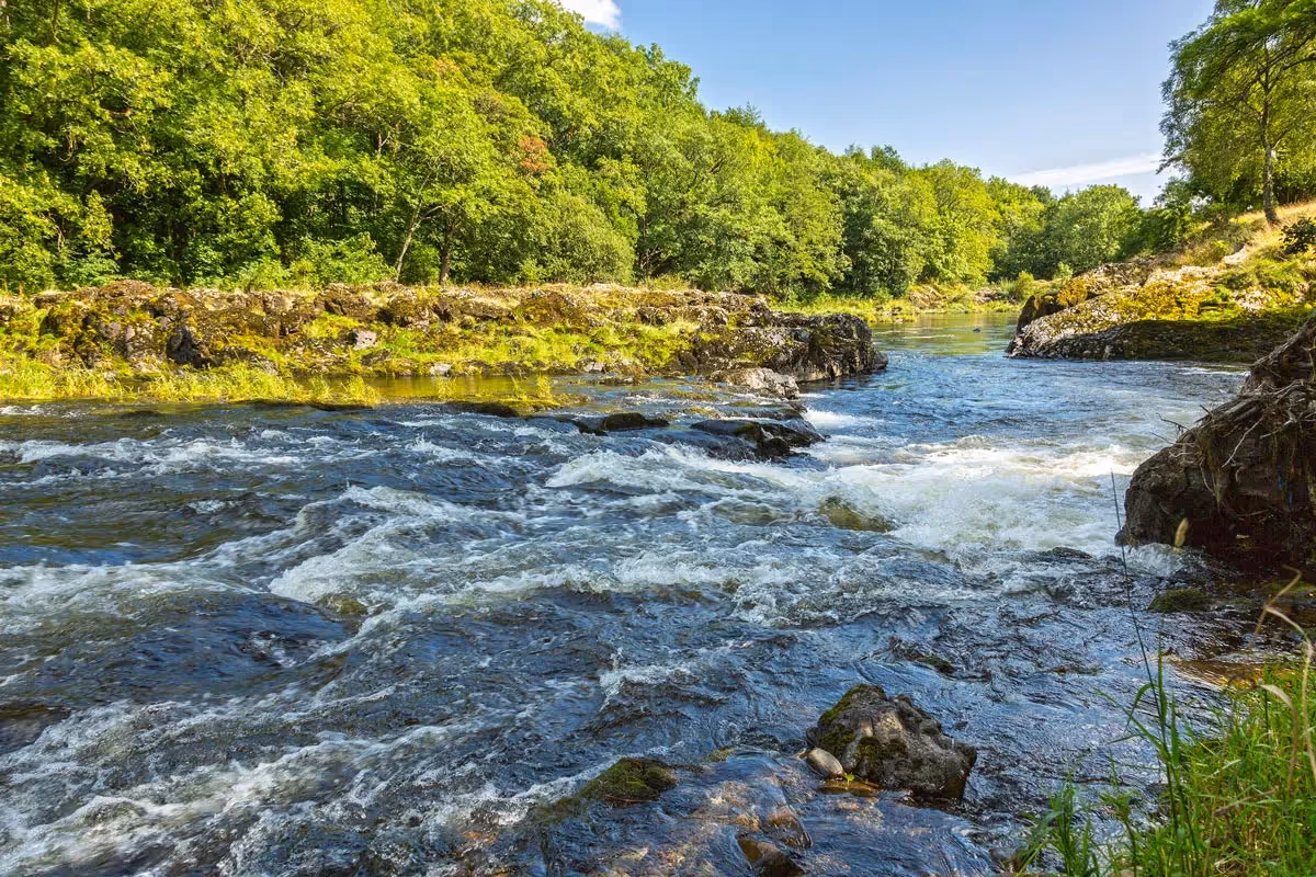
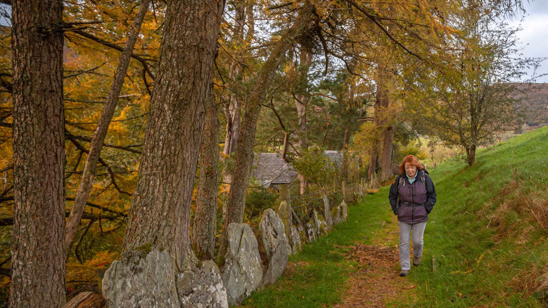
The route goes through Gilfach Nature Reserve, following the delightful Afon Marteg tumbling down to join the Wye, and passing the traditional Welsh long house at the heart of the Reserve, with its low key Discovery Centre. For a lower-level route take the alternate along a quiet lane on the west side of the River Wye, between Llangurig and Rhayader.

Centuries old Gilfach was a working hill farm, but is now a spectacular Nature Reserve (SSSI) where the Afon Marteg tumbles delightfully over rocks to join the Wye. Gilfach is known for the great variety of wildlife, from flycatchers and dippers to otters, polecats and salmon, as well as more than 413 types of lichen! Heather and gorse bring a blaze of colour to the upland hillsides in late summer attracting insects like the mountain bumble and fox moth.
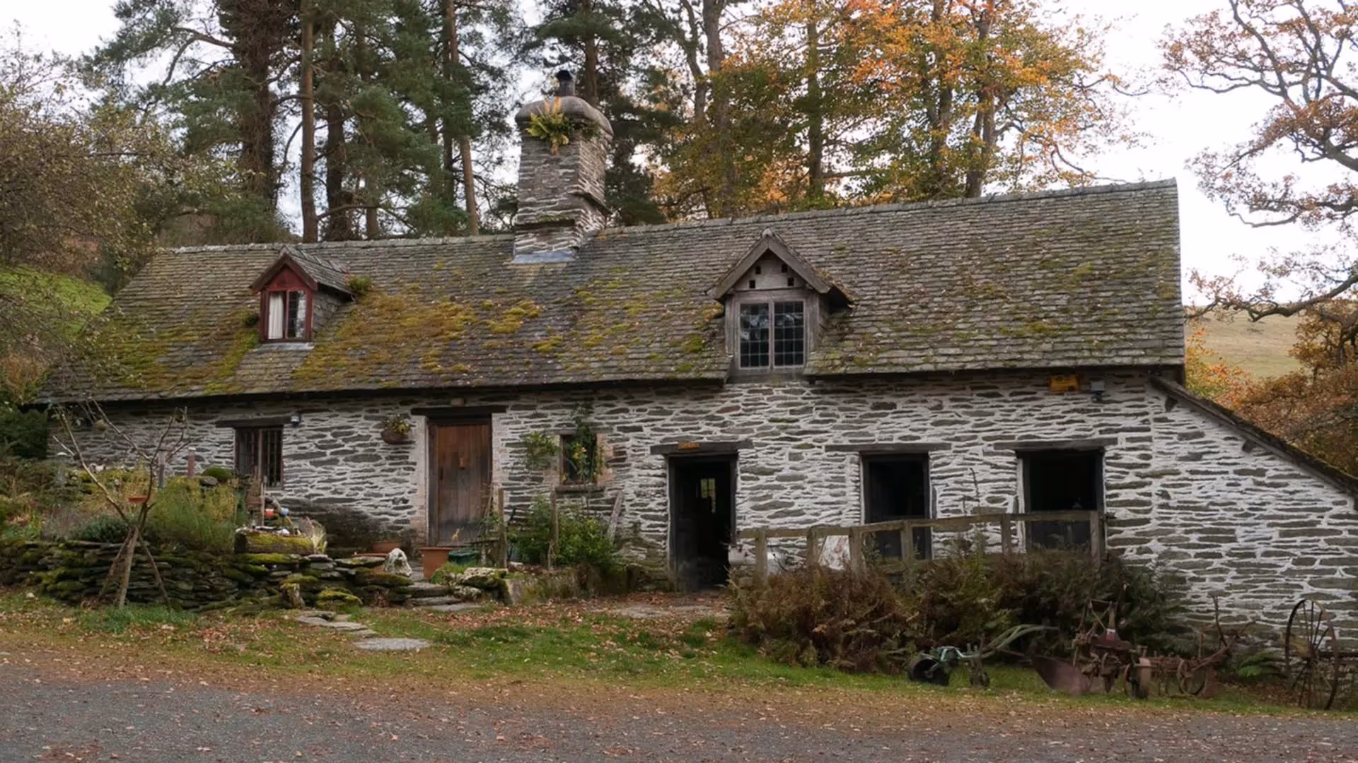
In a Tŷ hir, or Welsh longhouse, families and their livestock lived together under the same roof. The family lived in the uphill side of the building and their cattle and horses were kept in stalls on the lower side so that manure drained downhill. (This was on the right at Gilfach). Often servants slept in the hay loft above the animals, benefitting from their warmth in winter. Gilfach dates from around 1550.
The Monk’s Trod is a 25 mile medieval route over the Cambrian Mountains, linking two Cistercian monasteries founded in the late 12th century, Strata Florida (Ystrad Fflur) and Abbey Cwmhir (Abaty Cwmhir). You can follow the Monk’s Trod through Gilfach Nature Reserve, where it crosses the Wye at Pont Marteg and climbs up to the mountain top. It is one of the best-preserved medieval roads in Britain.


It’s a fantastic achievement to walk all 136 miles. Mark the miles by keeping a record of your journey, collecting (digital) passport stamps along the route…
MAKE A PASSPORT
Subscribe to our Wye Valley AONB Newsletter