Cookie Consent

By clicking “Accept”, you agree to the storing of cookies on your device to enhance site navigation, analyse site usage, and assist in our marketing efforts. View our Privacy Policy for more information.

View Privacy Policy
Close
Stage 18

Getting to the start of the walk

Stage 18

Getting to the start of the walk

The walk starts (or ends) at the remote location of Rhyd-y-benwch which is not served by buses. You have 3 options:

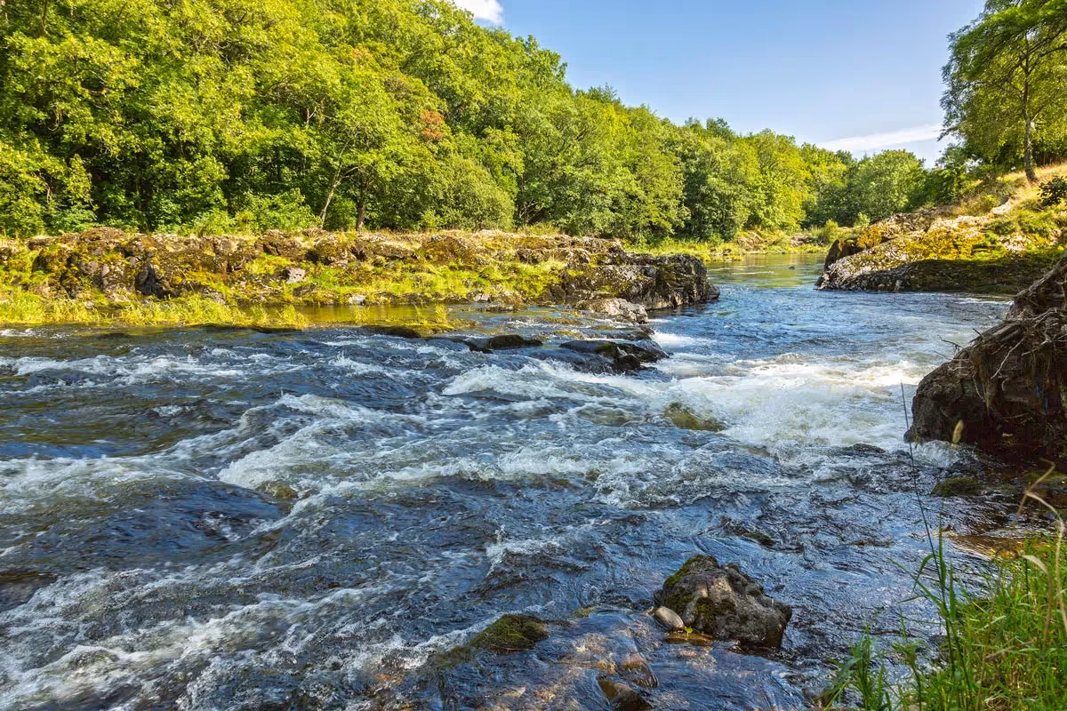
Use the Severn Way to walk the 8 miles (12.9km) from (or to) Llanidloes, well served by buses which connect with the nearest railway station at Newtown.

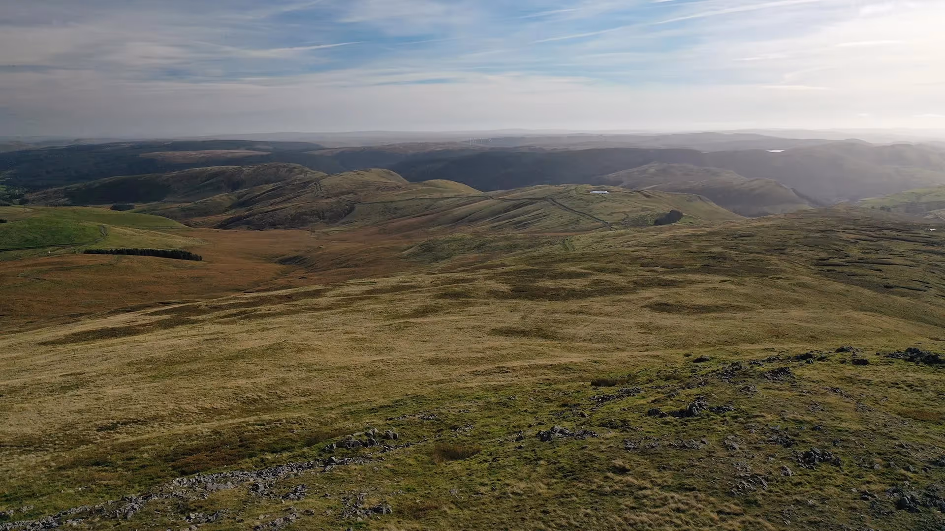
If finishing the walk at Rhyd-y-benwch you can retrace your steps to Llangurig (12 miles/19.3km) which is on a main bus route.

Use a taxi service (or friend) to be dropped off (or collected from) Rhyd-y-Benwch. There is no phone signal at Rhyd-y-Benwch. See here for taxi details

Route Facts

Start:
Llanidloes
Finish:
Rhyd-y-benwch
Distance:
8 miles (12.9 km)
Time:
2.45 hours
Height ascent:
570ft (174m)
OS Map:
Outdoor Explorer 214 Llanidloes & Newtown
Refreshments:
None on route
Public Transport:
National Express bus Aberystwyth to Birmingham and London passes through Llanidloes (Gro car park). Only specified stops, book in advance. Daily Aberystwyth to Llanidloes bus (not Sundays or Bank Hols).
Passport Collection Point:
Take a photo of the passport sign as you leave the carpark to start the Wye Valley Walk and upload when you have signal.

Wye-Lights

PLan Your Adventure

Passport StampBoots Illustration

Wye Valley
Walk Passport

It’s a fantastic achievement to walk all 136 miles. Mark the miles by keeping a record of your journey, collecting (digital) passport stamps along the route…

MAKE A PASSPORT