Filter Map
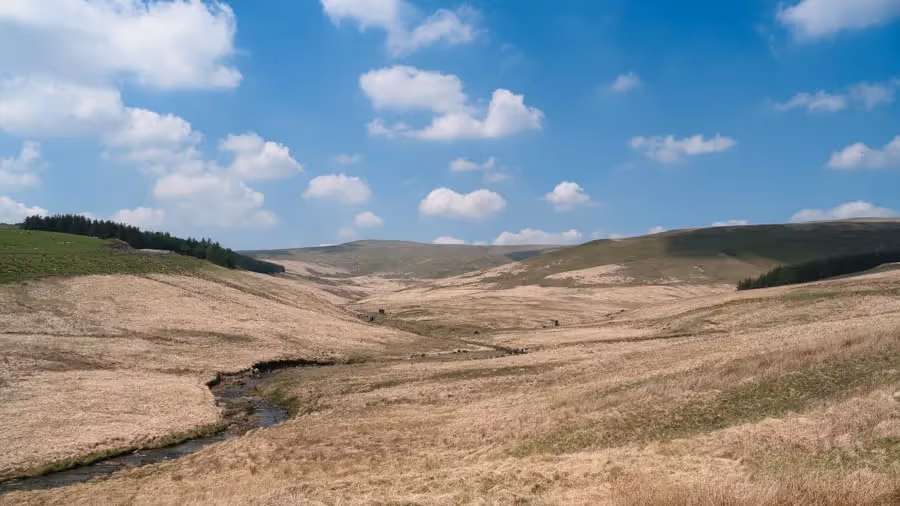
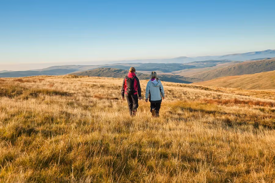
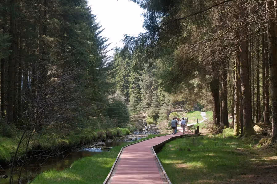
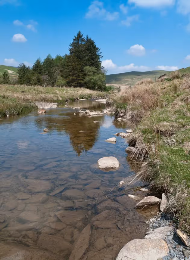
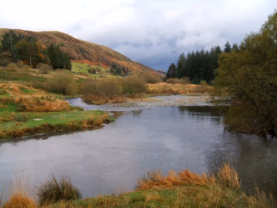
Starting at Rhyd-y-benwch the route passes through Hafren Forest, which takes its name from Afon Hafren, theRiver Severn, that rises in a deep blanket bog on the nearby slopes of Plynlimon, close to the source of the Wye. Don't be confused as the walk follows the tiny River Severn for a short distance at Rhyd-y-benwch. The path soon finds the Wye, crossing open country with extensive moorland views towards its source.
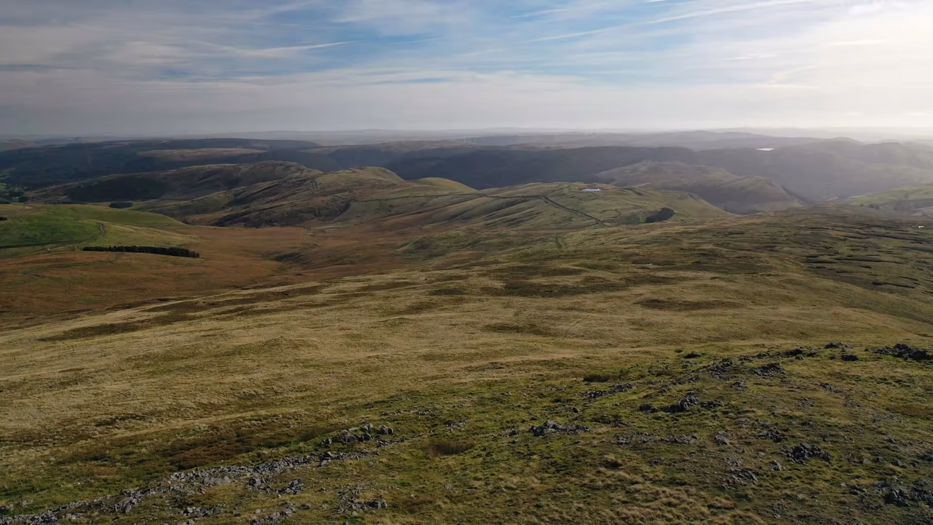
This is an area of upland sheep farming but hints of an industrial past litter the landscape. Silver and lead mining was a major industry in this area in the 18th and 19th centuries. Today, a motor sport facility at Sweet Lamb uses this area to test rally cars.
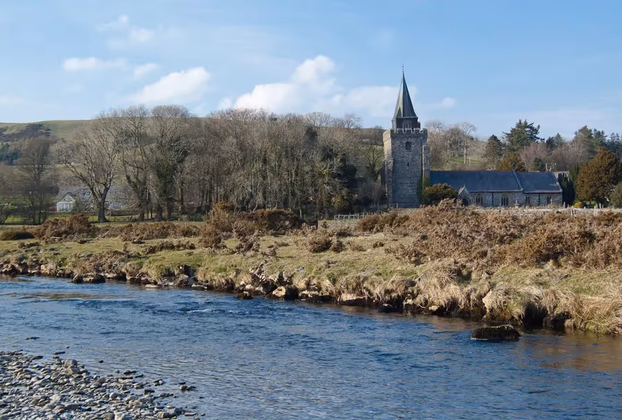
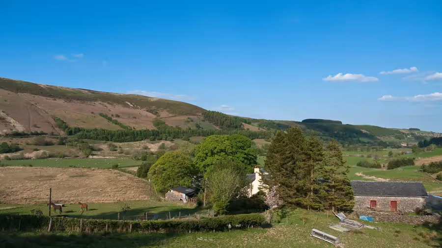
The route continues over farmland, through woods and beside the Wye to the small village of Llangurig. Collect your digital passport stamp at Llangurig Post Office & Stores, where you can also pick up supplies for the next stage of the walk.

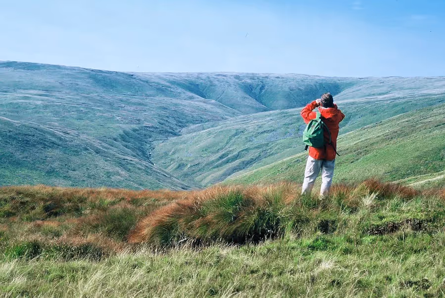
Plynlimon is one of the most important upland areas for nature conservation in Wales, with blanket bog, acid grassland and dwarf-shrub heath, peregrine falcons, red kites, buzzards and kestrels. The land stretching to the source of the Wye is Open Access, meaning the public can walk over it, but, as it is boggy and not waymarked, it should only be attempted by experienced walkers. Near the old lead mines there are excellent views towards the source, without having to leave the route.
An ancient Welsh myth tells of the Three Sisters of Plynlimon, water spirits who met on the windswept slopes to discuss the best way to reach the sea. The first sister, Ystwyth, took the most direct route west to mingle with the salty waters of Cardigan Bay. The second sister, Severn, chose the longest route, taking 180 miles to reach the sea. The third sister, Wye, had a taste for landscape choosing the prettiest route through purple hills and golden valleys to unite with her sister, Severn.
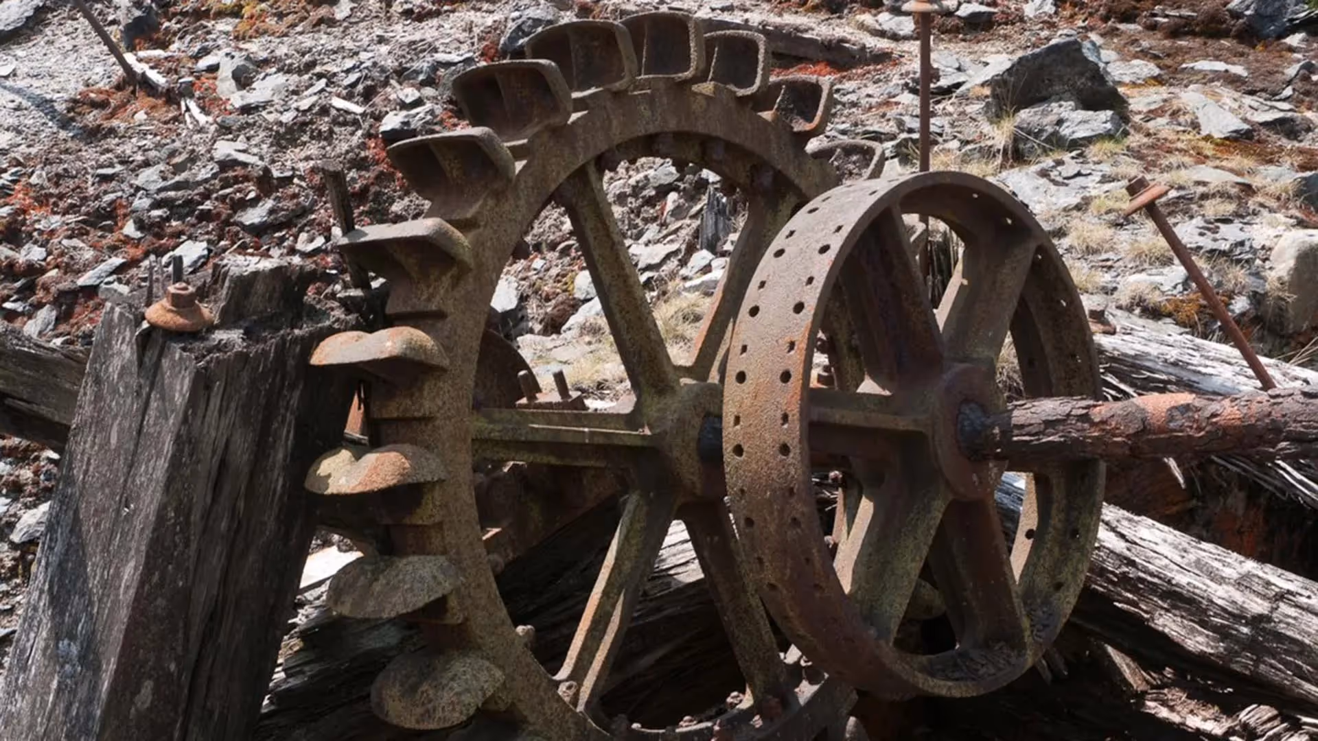
Open-cut mine workings discovered at Nant-yr-Eira show the riches in these hills were being mined in the Bronze Age. Streams running off Plynlimon, stained bright orange, have come through copper-bearing strata, which was mined at Nant-yr-Eira more recently. In the 18th and 19th centuries silver and lead mining were major industries in this valley. The last mine to close in 1917 was Nant Iago, remnants of which can be seen in spoil heaps, machinery and tramways close to the path.


It’s a fantastic achievement to walk all 136 miles. Mark the miles by keeping a record of your journey, collecting (digital) passport stamps along the route…
MAKE A PASSPORT
Subscribe to our Wye Valley AONB Newsletter